

LONG before the days of the device known as the SatNav, before the internet and data roaming had even been thought about.
If you wanted to drive anywhere other than a 50 mile radius around Cirencester, you needed a road map - an atlas in fact!
My Dad had several of these large A3 size books knocking around in the boot of his car, but I don’t ever recall him using any of them.
Once a year our family left the environs of Cirencester and headed off on a weeks holiday to Weymouth or Paignton.
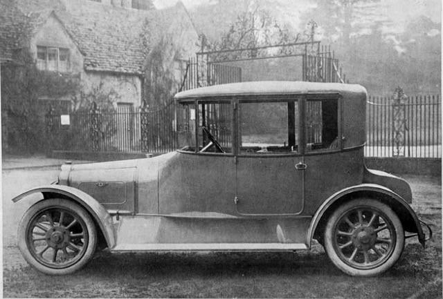
Without the benefit of seat belts and safety seats, my sister and I would roll around the back seat at every corner, while up front in the passenger seat of my dad’s Wolsey 6/80- saloon my mother would be Navigator.
Instructing my dad all the way from the Gloucestershire boundary to our destination.
A lot of planning went into these voyages to deepest Dorset and Devon.
Weeks beforehand my mother would write a letter to the AA asking directions; enclosing a postal order for about 3/6 (Three Shillings and Six pence) - 17 pence in todays currency.
The directions would arrive though the post a few days later - a turn by turn list which would be typewritten on a sort of pad for mother to read out.
Local driving was fairly straightforward in the 1960s.
There were few completed motorways and the Cirencester bypass wasn’t even on the drawing board.
It was pre-breathalyser and most country pubs were well used.
It was considered normal back then to drink a gallon (or more) of beer and then drive home.
The drivers didn’t need a map to get home, they used the centre while line of the road to guide themselves back to town - hoping I guess, not to meet a country resident who’d been drinking in the opposite direction and was also using the same white line to get home…
For more Robert Heaven nostalgia features visit wiltsglosstandard.co.uk


Comments: Our rules
We want our comments to be a lively and valuable part of our community - a place where readers can debate and engage with the most important local issues. The ability to comment on our stories is a privilege, not a right, however, and that privilege may be withdrawn if it is abused or misused.
Please report any comments that break our rules.
Read the rules hereLast Updated:
Report this comment Cancel